
No Pipeline Goes Unseen
Leaving Nothing to Question
Nothing Is Out of Reach
Building A Better Future
Fast, Efficient & Accurate
Rise Above The Rest
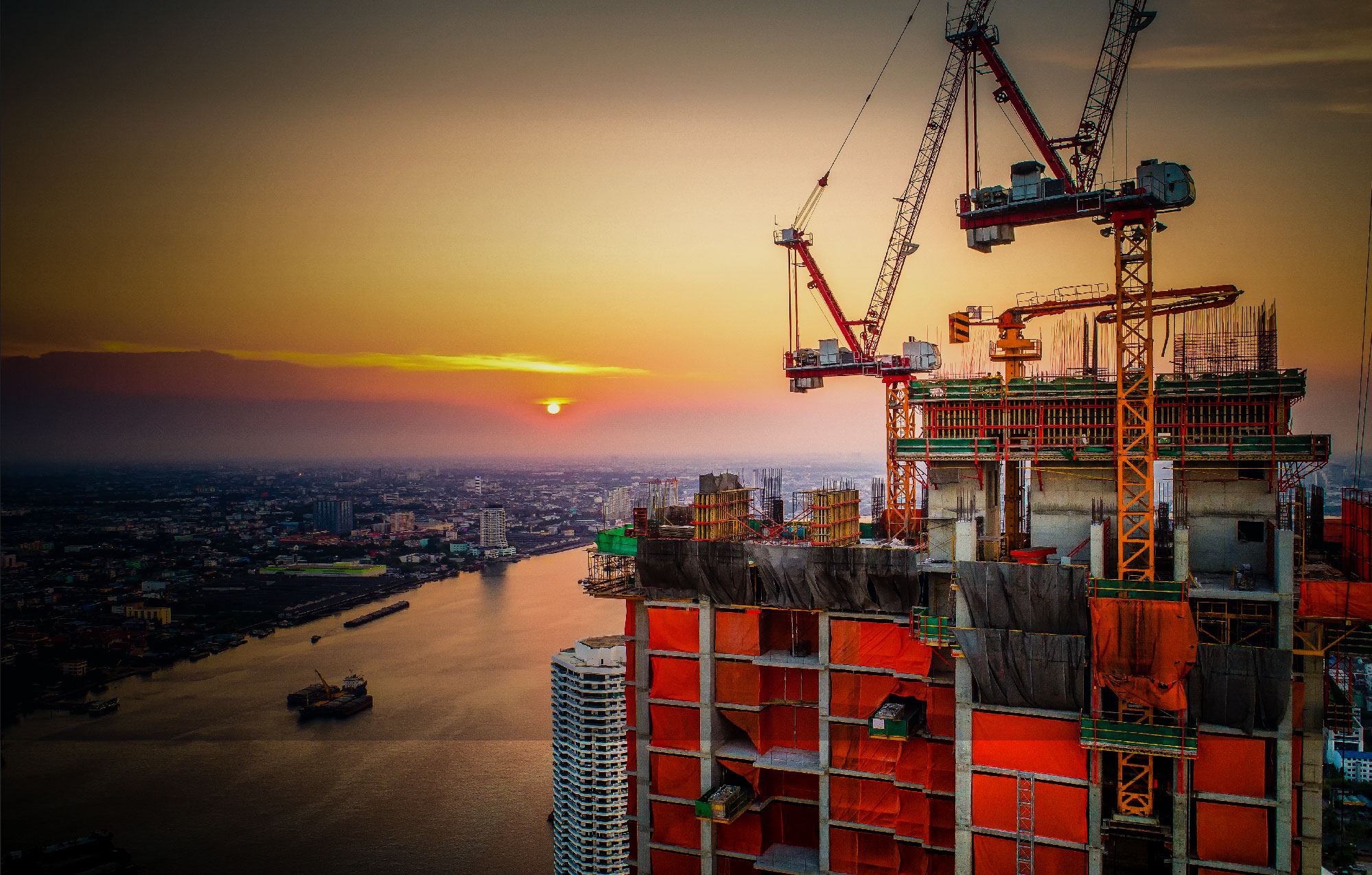
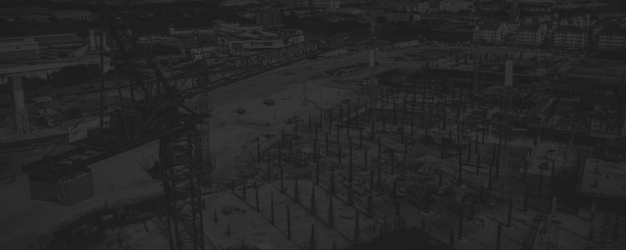
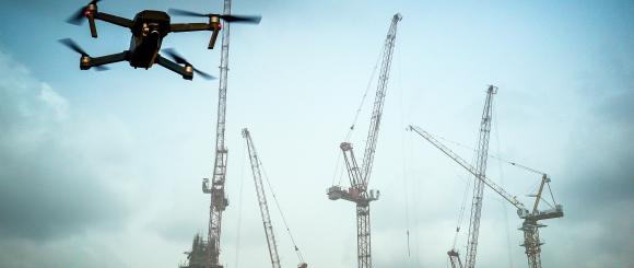
Construction
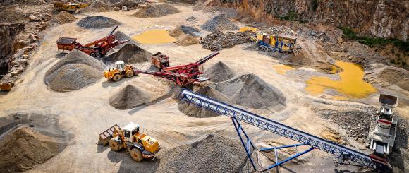
Drones in construction allow for more timely data analyses by tracking progress, managing heavy equipment and protecting your most important human resources from hazardous situations. Furthermore, large construction projects will more likely be kept on schedule and under budget when volumetric, logistic, and safety information is delivered more quickly to the decision makers.
Typical applications:
- Initial planning and budgeting
- Developing pre-construction surveys and detailed quantity take-offs
- Earthworks tracking, maintenance and progress monitoring
- Inspecting Structures prior, during and post construction
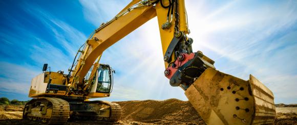
- Reach high-risk areas and locations not easily accessible to workers
- Analyzing volumetric Data
- Showcasing progress status to owners and clients
- Total asset management


Drone Field Services
- Site Prep
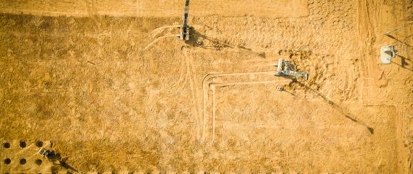
DataWing provides a pre-construction investigation to develop a bench line for logistical and planning purposes.
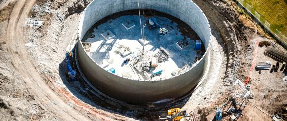
- Pre-construction Design
DataWing combines photogrammetry and ground-based survey techniques to execute an accurate pre-construction survey. Our engineers use the information to create full data alignment sheets, volumetric calculations and topography maps.
- Progress Updates
Drone missions can be regularly scheduled and consistently flown allowing for a more accurate comparative analysis. DataWing’s services can also provide data for earthworks tracking, site maintenance, and progress monitoring.
- Site Survey
DataWing provides routine aerial data collection conducted during a project lifecycle to capture progression and best practices
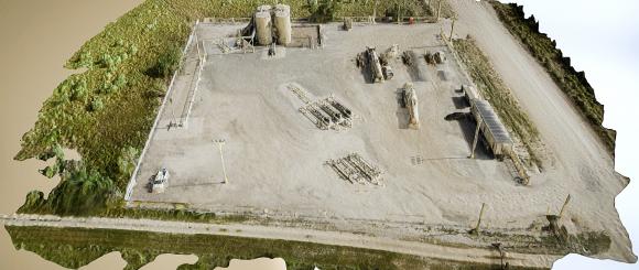
- 3 Dimensional Models
Data collected from drones is quickly transformed to 2D and 3D models. Millions of data points are taken using photogrammetry techniques that can later be visualized via point cloud software.
- Quality Control
DataWing monitors and tracks numerous performance-based factors to ensure quality and accountability during the construction process. Project managers can specify points of interest for customized reporting.
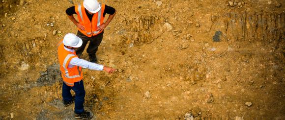
- Worker Safety
At DataWing, we monitor and influence personnel changes and habits impacting job site safety over the course of a project
Site Prep
Pre-construction Design
Progress Updates
Site Survey
3 Dimensional Models
Quality Control
Worker Safety